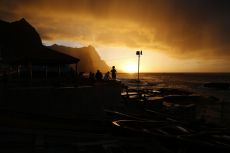
Cape Verde
Hiking on the Cape Verde Islands
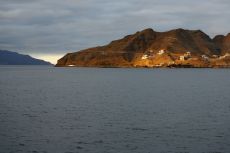
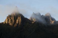
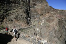
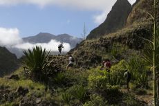
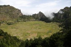
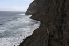
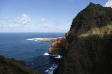
These photos were taken in November 2018. We spent about one week on Santo Antão, the most mountainous of the nine inhabited Cape Verde islands.
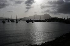
The only airfield on Santo Antão is closed due to safety concerns, so the easiest way to get there is to fly to the nearby São Vicente Island and catch the ferry from the city of Mindelo.
On the way back, we spent a day on Santiago Island where the capital city of Praia is situated.
Gallery
Map
This map from OpenStreetMap shows São Vicente and Santo Antão in the NW, and Santiago with the capital Praia in the SE. We started our trip by taking the ferry from Mindelo on São Vicente to Porto Novo on Santo Antão.
Updated: 7 May, 2019.
